
Checking in on a critically endangered ecological community
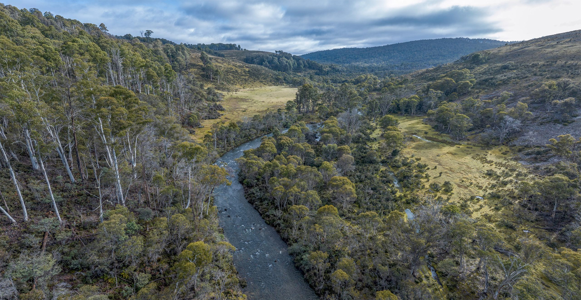
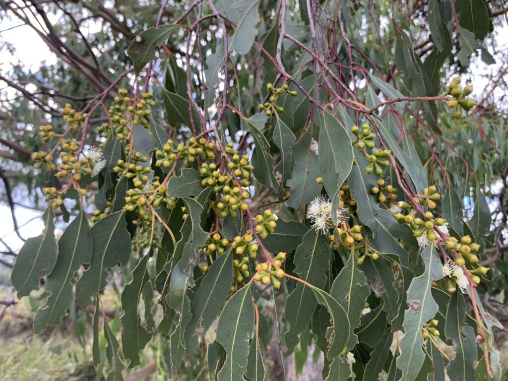
Black gum (Eucalyptus ovata) and Brookers gum (Eucalyptus brookeriana) forests are a critically endangered ecological community found in Tasmania. These two closely related eucalypts occur mostly in northern and eastern Tasmania, typically on low-lying flood plains and valleys with fertile soils and poor drainage. Their habitat has been extensively cleared for farming and it is estimated that black gum–Brookers gum forests have declined by up to 90% since European settlement. These forests are facing continuing threats from land clearing, forestry, development, grazing and weeds.
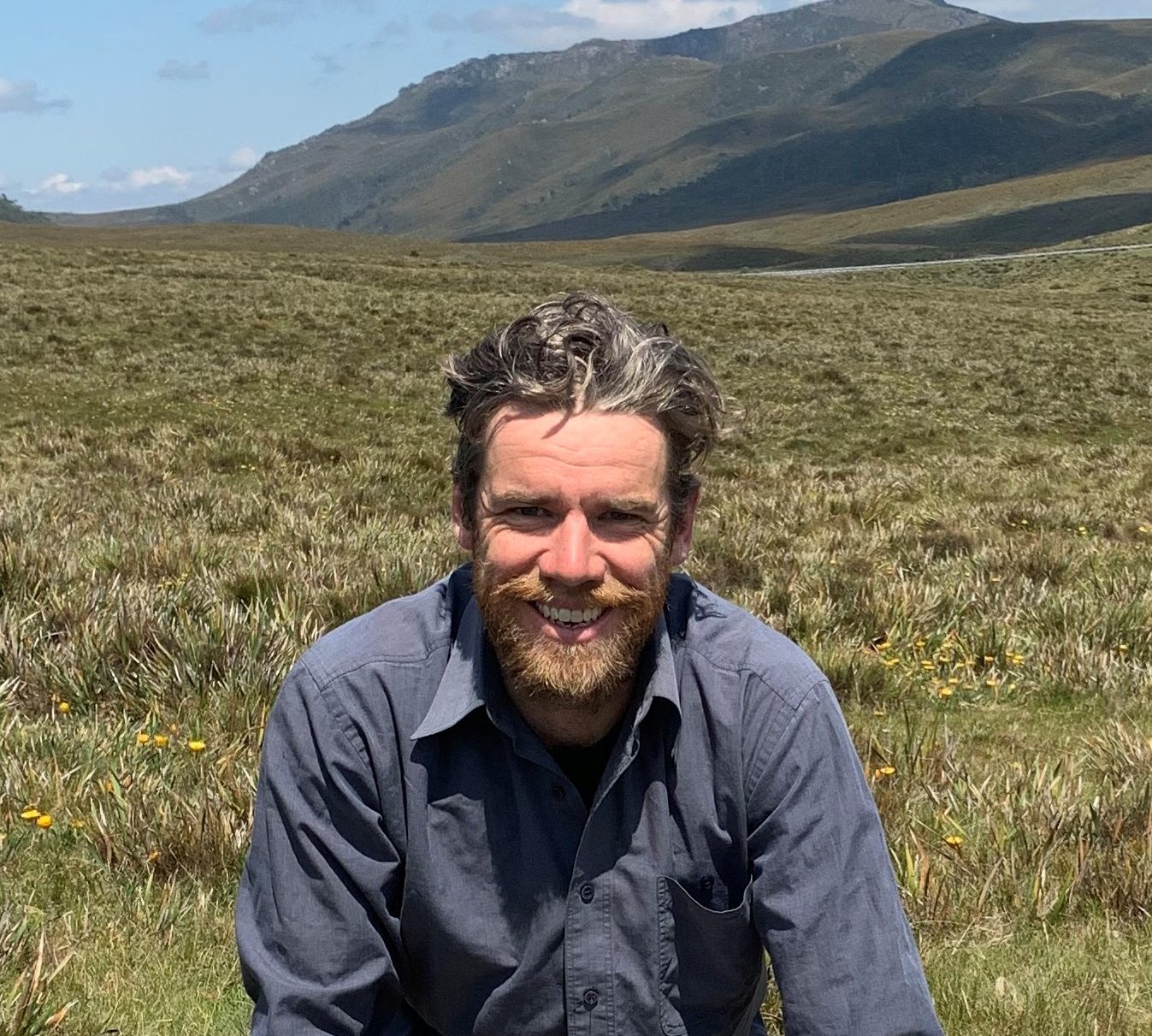
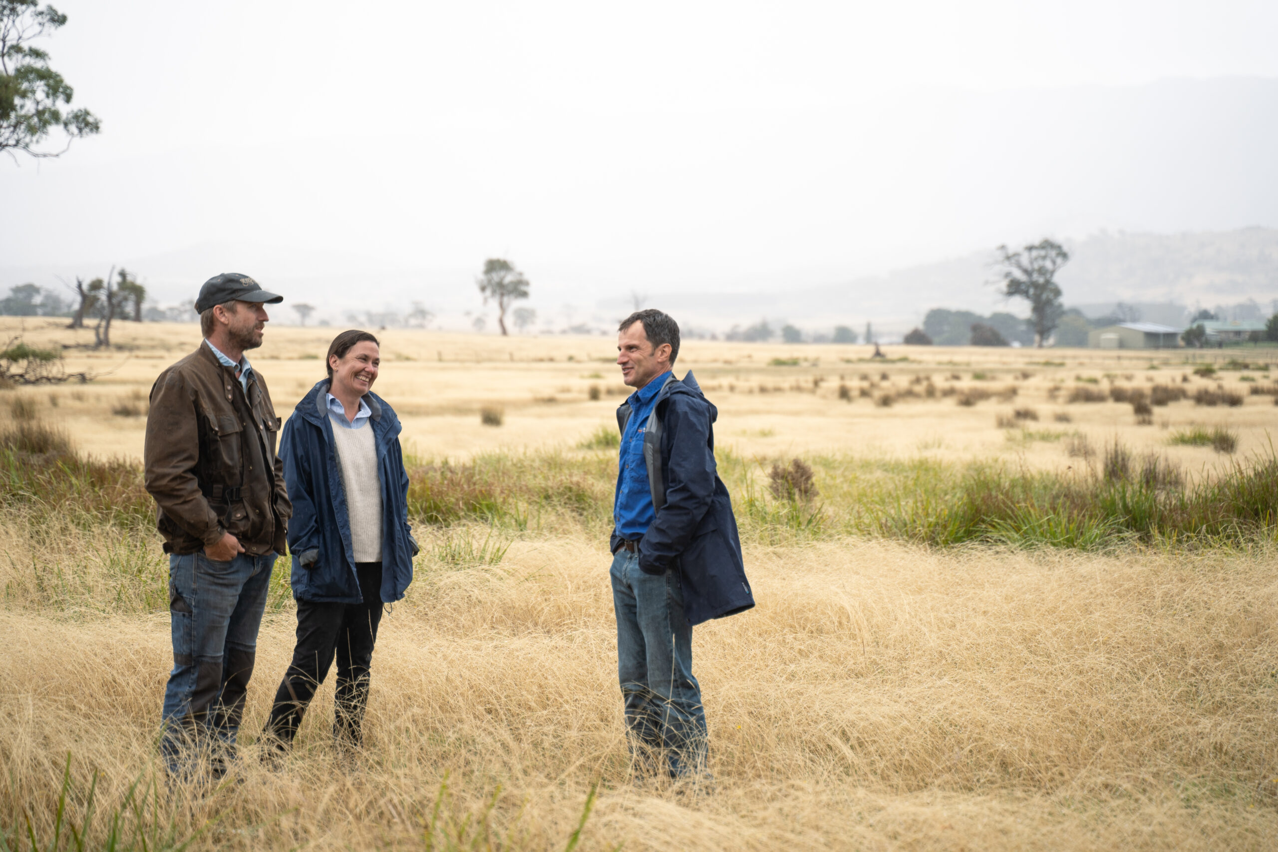
Over the past 12 months the TLC has been working on a project to protect black gum–Brookers gum forests in partnership with NRM South. We have been systematically surveying the ecological community across southern Tasmania to check the existing mapping of these forests and assess their status against the Commonwealth’s condition threshold criteria.
This has kept me very busy in the field, surveying more than one thousand sites, all the way from Bicheno to Southport. The surveys generally involved drive-by inspections of smaller patches of vegetation close to roads, while larger sites were assessed on foot. The surveys focussed on checking areas mapped as black gum forest or Brookers gum forest in TASVEG (the state-wide digital map of Tasmania’s vegetation). I found that 80% of areas mapped as black gum or Brookers gum forest supported the ecological community. More than 400 ha were reclassified as other vegetation communities, including some of the largest mapped patches in southern Tasmania.
Conversely, I recorded 750 ‘new’ patches of black gum–Brookers gum forests, totalling 2,850 ha. I discovered sizeable areas of black gum forest around Levendale, Nugent, Rheban and Westerway, while large areas of Brookers gum forest were recorded around Wielangta, Woodsdale, Levendale and Lonnavale. Most of these new patches were on private land.
Does this change the status of black gum–Brookers gum forests?
No: unfortunately more than half of black gum–Brookers gum forests surveyed were small, isolated patches in roadsides or paddocks and do not meet the condition thresholds for Commonwealth listing. The majority of patches occur on private land and are subject to grazing or other forms of incremental clearance. Weeds are often present in small narrow patches, particularly along roadside and creeks.
The surveys provide further evidence to support the listing of black gum–Brookers gum forests as Critically Endangered. Small remnants of black gum were observed across all of the major agricultural areas in the region. It was often the only tree species remaining in these highly converted landscapes. This supports the assertion that the ecological community would have been extensive across low-lying valleys and plains in south-east Tasmania before European settlement.
The condition assessments also reiterated the key threats to the ecological community, especially conversion for forestry and farming. I saw evidence of recent clearance of the ecological community on numerous properties, including conversion of significant areas to pasture. Degradation through weed incursion and wood hooking was also frequently observed.
Another concern is the amount of black gum–Brookers gum forests within production forests. The surveys recorded approximately 200 ha of black gum–Brookers gum forests in Permanent Timber Production Zone land and it is likely that significant areas (not currently mapped) may also occur in production forests.
The good news
Discovering almost 3,000 ha of black gum–Brookers gum forests is very significant, considering the total extent in southern Tasmania was only estimated to be 5,500 ha. This ecological community is not easily identified from aerial photo interpretation and ground surveys are essential to accurately map these forests. It is likely that additional areas could still be found, especially in more remote areas.
This has significant implications for conservation. Accurate mapping is fundamental to understanding the current distribution and status of threatened ecological communities. It enables the identification of areas of highest quality where we can focus our conservation efforts. Mapping of high conservation vegetation also underpins planning and policy decisions such as land-use zones and biodiversity overlays.
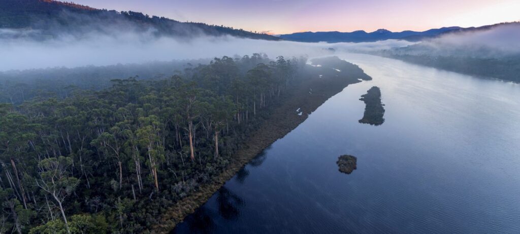
Fortunately, many of the large patches are already protected within reserves. The largest patch of black gum forest in southern Tasmania occurs on Egg Islands Reserve, owned and managed by the TLC. There are also extensive areas of Brookers gum forest around Lake Pedder in the Southwest National Park. The TLC is working to protect additional areas of the ecological community under conservation covenant as part of the NRM South-funded project. So far 34 ha of black gum–Brookers gum forests has been protected through the project, and we aim to protect more over the next two years.
You can read more about the surveys here.
This project is supported by NRM South through funding from the Australian Government’s National Landcare Program.
Banner photo of Egg Islands Reserve is by Joe Quarmby