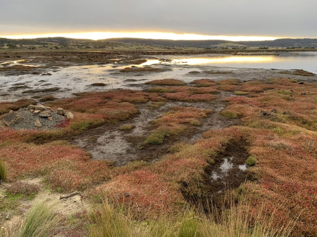

Restoring the flow at Long Point Reserve
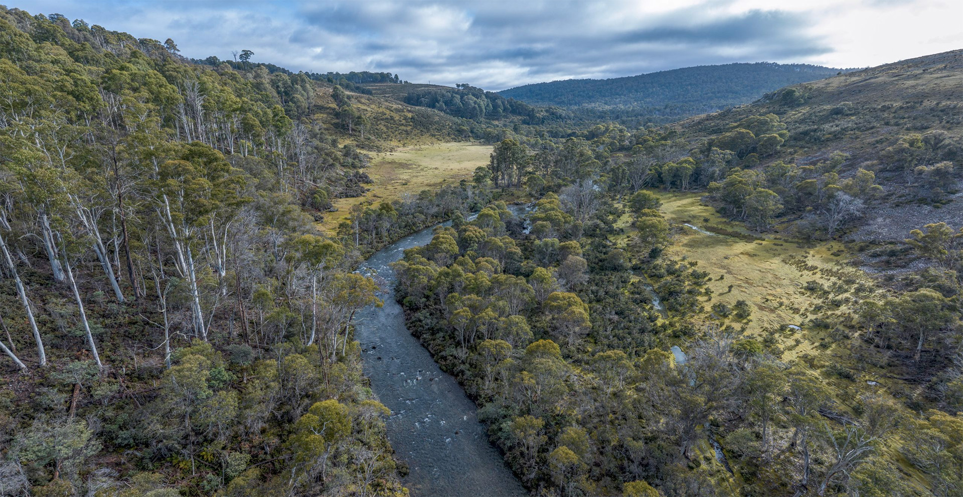
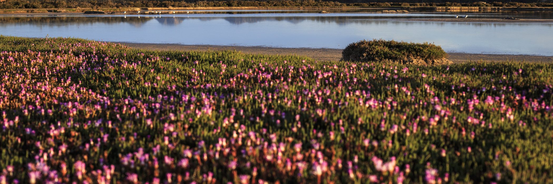
Long Point Reserve is an intricate habitat of low-lying saltmarshes, coastal grasslands and sand dunes supporting coastal woodlands. The extensive temperate saltmarsh, listed as nationally vulnerable, is the largest in Tasmania. These ecosystems are an ideal breeding and feeding ground, and a critical summer habitat for migratory water birds from all over the world.
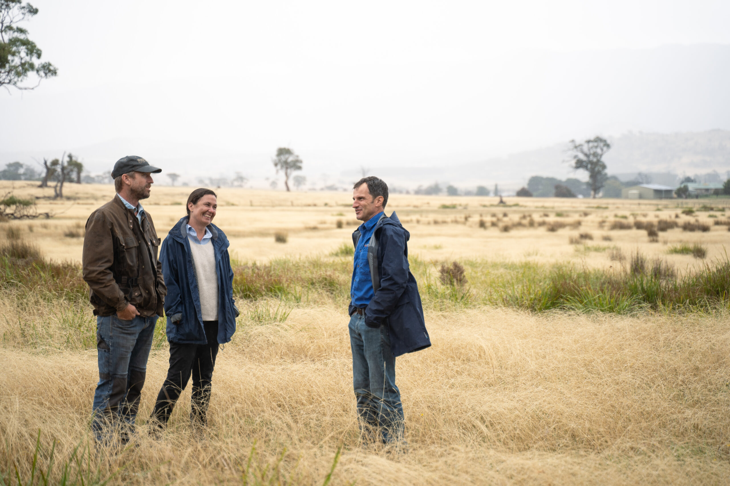
Long Point is the site of a number of restoration works, including one to remove drainage infrastructure that is impeding the natural flow of water. We’re collaborating on this project with Nature Glenelg Trust (NGT) as part of a project supported by NRM South through funding from the Australian Government’s National Landcare Program. Over the past three years NGT has been piecing together the history, ecological values and trajectory of change of these wetlands and looking for ways to improve their management.
Some drains and levees on this property date back to the 1800s, built to encourage pasture by stopping high tides from pushing into the lowlying ground. In the 1990s deeper drains were constructed to facilitate an aqua-culture project that was never quite fulfilled.
This project aims to restore the natural inundation patterns and water flows across the saltmarsh landscape by filling in the drains to their natural levels, based on historical information, aerial imagery and hydrological modelling. Crucially, restoration will also allow for seamless transitions and upslope migration of saltmarsh communities in readiness for increased storm surges and predicted sea-level rise.
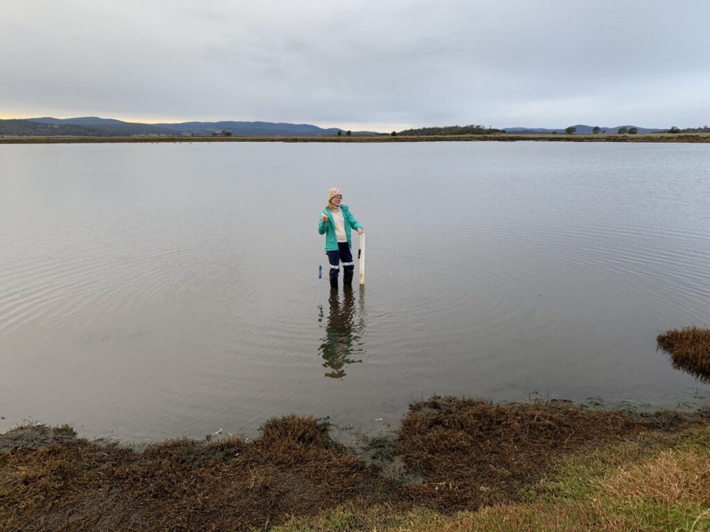
To return the saltmarsh to its natural state, the work is guided by a hydrological restoration plan developed by NGT with the TLC, the Department of Natural Resources and Environment and NRM South. Initial restoration has been completed at the adjacent ‘Grange’ property and along 300m of the TLC drainage network. Restoration methods are being trialled and refined for local site conditions; weather permitting, restoration will be completed in early 2023!
With NGT and Dr John Aalders, the TLC Science team is doing detailed monitoring to make sure we understand the changes in both water movement across the site and the vegetation community response. We’re really looking forward to seeing the drains removed and understanding how the plants and animals respond.
As part of the same larger NRM South project, TLC has been controlling gorse across the reserve and planting local shrubs and trees to replace it. The Tasmanian Aboriginal Centre is using TLC’s WildTracker program to monitor how local animals respond to these changes. Each year the WildTracker cameras record over 9,000 images of eleven native and five introduced species. They confirm what we see onsite, with many photos of Bennett’s wallaby and wombats, but also excitingly good numbers of spotted-tailed quoll and devils.
Get more great science news when you subscribe to the TLC newsletter
Banner photo by Heath Holden